A local authority would likely need planning maps to support the application when you request a planning application for a new property or construction. It’s crucial to make sure you use the correct form of Planning Maps, as your application may otherwise be postponed or even rejected. A number of areas should be detailed, and data from current Ordnance Survey maps must be used. If you have not put together a planning application before submitting your proposals, you need to ensure that you cover each region. You can find a Large range of planning maps from the map shop to help with your application.
A significant part of the method is maps for planning. Inaccurate, unlicensed, wrongly shown or out-of-date proposals are the most prevalent reasons for applications being rejected by local authorities. It will cost you both financially and in terms of the time it takes to get your plans accepted if you do it incorrectly the first time. The maps would make it possible for the appropriate local authority to see clearly the land the request applies to.
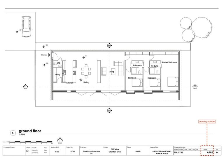
It doesn’t matter what size your planned development is going to be since before they can be addressed, all submissions need planning application maps. A location plan, which shows the surrounding area of the construction and puts the plans into perspective, is required by every authority. A Block Plan or Site Plan may be required by the local authority in some instances. This places the production on a wider scale, but no further detail needs to be added.


+ There are no comments
Add yours